
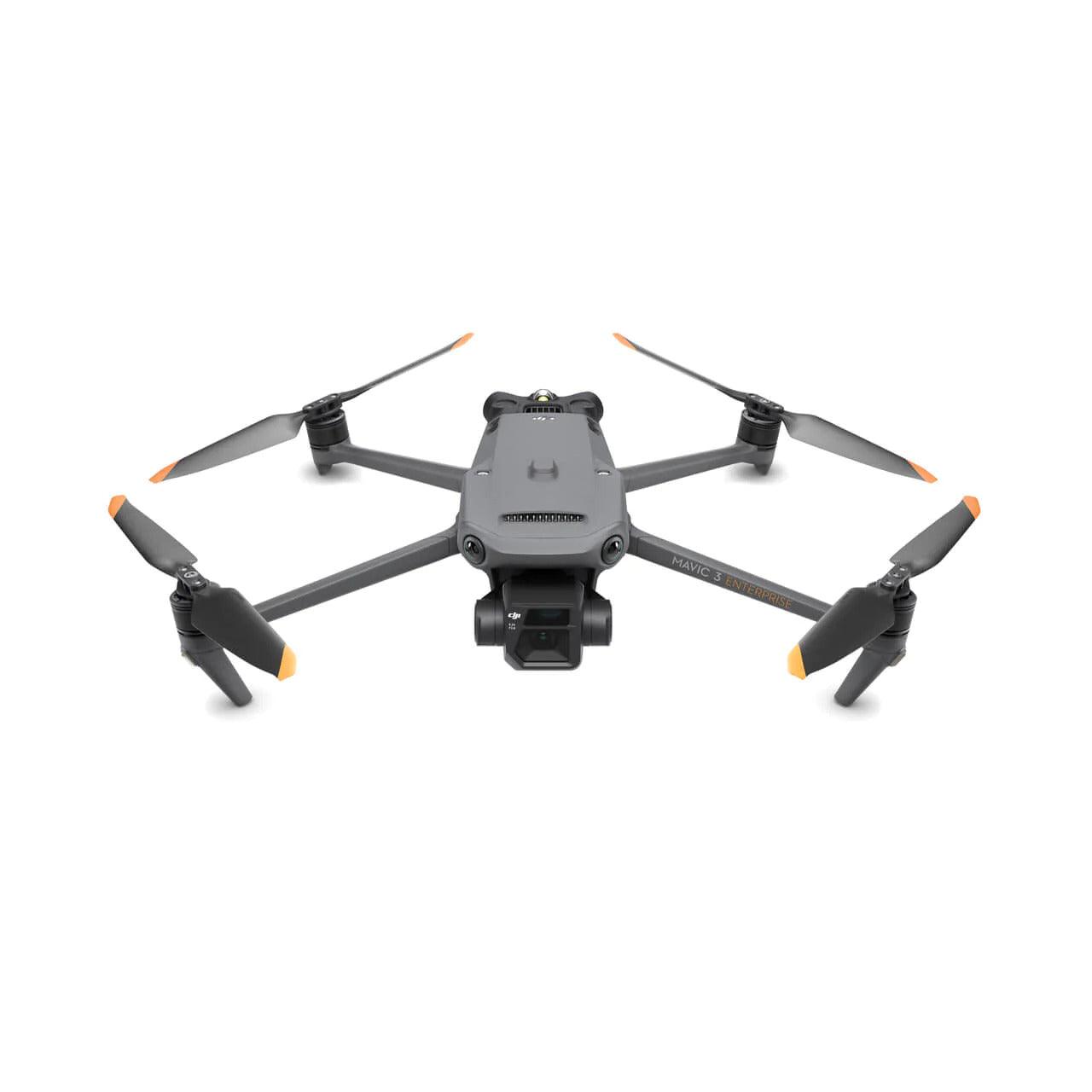
The DJI Mavic 3 Enterprise Series redefines industry standards for compact commercial drones, offering advanced features tailored for various professional applications.
$6,049.00
The DJI Mavic 3 Enterprise combines a classic wide-angle 4/3 CMOS, 20 MP sensor with a mechanical shutter to eliminate motion blur, supporting rapid 0.7-second interval capture. This makes it ideal for fast, accurate data collection and large-scale mapping operations without the need for ground control points (GCP).
Equipped with an optional RTK module, the Mavic 3 Enterprise achieves centimetre-level mapping accuracy (a significant upgrade over the standard Mavic 3) making it a powerful tool for surveying, inspection, and mapping tasks.
Designed for professionals who demand superior image quality and operational efficiency, the drone offers exceptional low-light performance, enabling detailed captures even at dusk and in nighttime conditions.
Massive Accessory Options
Build on the Existing Platform
At launch, Mavic 3 Enterprise supports two key accessory modules: the RTK module and a speaker.
The RTK module provides centimetre-level accuracy, enabling high-precision surveying without the need for ground control points.
The speaker module is designed for emergency services, police, and security organisations, allowing pilots to broadcast messages across a wide area.
Additionally, DJI’s development team actively supports third-party hardware and software integrations, opening up new possibilities for drone control and functionality tailored to your unique operational needs.
Based on the powerful Mavic 3 platform, the Enterprise edition features wide-angle cameras on all sides for complete 360° obstacle detection and collision avoidance, eliminating blind spots. Pilots can customise alert distances and braking behaviour to match mission requirements.
With high-capacity batteries, each flight can last up to 45 minutes, providing extended coverage beyond previous generations.
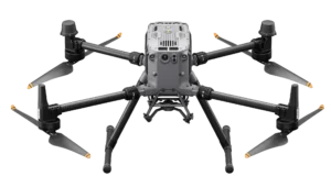
Two Drones, Endless Possibilities
A System Designed for Versatility
Whether for surveying, inspection, thermal imaging, or 2D/3D modelling, the new Mavic 3 Enterprise drones deliver efficient, high-quality results. At Grey4Blue Solutions, we’re ready to help you get started with these powerful tools tailored to your operational needs.
Key Features
• 4/3-inch CMOS, 20 MP wide-angle sensor with mechanical shutter for blur-free imaging
• Rapid image capture with 0.7-second interval shooting
• Optional RTK module for centimetre-level positioning accuracy
• Up to 2 km² mapping coverage per flight
• Enhanced colour reproduction and noise reduction for high-quality imagery
• Excellent low-light performance for dawn, dusk, and night operations
• Wide-angle cameras all around for 360° obstacle sensing and collision avoidance
• Customisable alert distances and automated braking for obstacle safety
• High-capacity batteries offering up to 45 minutes flight time per battery
• Speaker accessory for communication in emergency and security operations
• Supported by DJI’s third-party hardware and software ecosystem
Ideal Uses
• Precise land/ocean surveying and topographic mapping
• Infrastructure and asset inspection
• Volume calculation and 3D modelling
• Environmental monitoring and documentation
• Emergency response communication and crowd control

Reviews
There are no reviews yet.